Denver sits at exactly 5,280 feet, but the real elevation challenge here is the unpredictable ground beneath the surface. The city's expansion into old alluvial fans and swelling clay zones means every deep dig is a unique engineering puzzle. We've monitored excavations from Cherry Creek to the Federal Center, and the soil story changes block by block. That's why we pair real-time inclinometer data with surface settlement markers and standpipe piezometers. The goal is simple: keep the shoring stable, the adjacent buildings crack-free, and the project on schedule. This isn't about checking boxes for the building department—it's about catching a wall deflection before it becomes a headline.
A 0.25-inch movement in a soldier pile wall can translate to a six-figure claim on the adjacent building. We read the data so you don't have to.
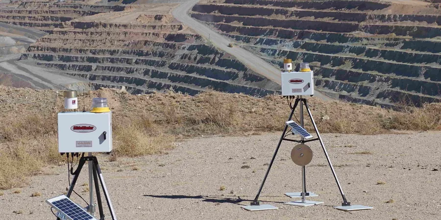
Methodology and scope
Local considerations
The Denver Basin's bedrock is notoriously variable—hard sandstone ribs can sit right next to soft claystone seams. When you cut a 30-foot excavation in that mix, stress relief can cause unexpected heave at the bottom and lateral squeeze on the shoring. The real risk isn't the obvious collapse; it's the slow, silent deformation that cracks a gas line or racks a neighboring elevator shaft. We've seen water migrate through old gravel lenses and saturate the back of a tied-back wall, doubling the apparent earth pressure in 48 hours. Without piezometers and regular survey checks, that problem stays hidden until the wall tilts. The IBC and local Denver amendments require monitoring plans for excavations over 20 feet deep or within a 1:1 influence zone of existing structures, but we recommend it for any cut where the cost of failure exceeds the cost of instrumentation.
Applicable standards
ASCE 7-22, IBC 2021 (Chapter 33), OSHA 1926 Subpart P (Appendix B), ASTM D6230 (inclinometer), ASTM D7299 (vertical settlement)
Associated technical services
Urban Excavation Monitoring
Automated optical survey with wireless nodes for downtown sites. We track building corners, sidewalks, and utility vaults continuously. Data goes to a cloud dashboard you can check from the trailer or the office.
Deep Shoring Instrumentation
In-place inclinometers and load cells on tieback anchors. This package fits cuts over 25 feet where lateral movement must stay under 1 inch. We calibrate alerts to your engineer's design thresholds.
Groundwater and Pore Pressure
Vibrating wire piezometers installed in boreholes around the excavation perimeter. Critical for sites near the South Platte River or in areas with perched water tables that can destabilize the base.
Pre-Construction Condition Surveys
Detailed photo and crack-monitor documentation of adjacent structures before the shovel hits the ground. Protects you from fraudulent damage claims and sets a clear baseline for the project record.
Typical parameters
Frequently asked questions
What do excavation monitoring services typically cost in Denver?
Most instrumentation programs for a standard commercial excavation in Denver range from US$880 to US$2,860 per month, depending on the number of sensors, reading frequency, and whether automated data collection is required. A simple manual survey with settlement points costs less than a fully automated system with inclinometers and web-based alerts.
How often should monitoring readings be taken during excavation?
During active digging near adjacent structures, we take readings every 15 minutes with automated systems. Manual surveys are typically done daily. The frequency can relax to weekly once the shoring is locked off and backfill begins, per the project's instrumentation plan.
What triggers a stop-work condition in Denver?
The IBC and local code point to 50% of the predicted design movement as a trigger for review. If a wall moves 0.5 inches and the design allowed 1 inch, we notify the engineer immediately. A full stop-work is called if movement accelerates beyond the design limit or if new cracks appear in adjacent structures.
Can you monitor an excavation next to a historic Denver building?
Yes. We use crack monitors, vibration sensors, and tilt meters on the historic structure itself. For fragile masonry common in Capitol Hill and Baker, we set tighter thresholds—often 0.25 inches of settlement or less—and pair them with real-time alerts to the superintendent's phone.