Denver sits at exactly 5,280 feet, but the real engineering challenge isn't the altitude—it's what lies beneath. The Pierre Shale and Denver Formation bedrock weather into expansive clay slopes that keep geotechnical engineers on their toes. We see it every season: a cut slope that held fine for three years suddenly creeps after a wet spring. The IBC classifies much of the metro area as Site Class C or D, which means a standard infinite slope analysis won't cut it. Our team runs laboratory direct shear and Atterberg limits on undisturbed samples to feed realistic parameters into limit-equilibrium models. When the project sits near the hogbacks west of town—Morrison, Golden, Lakewood—the dip of sedimentary strata adds a structural component that a simple circular failure search misses entirely. For those sites we often combine slope modeling with an exploratory test pit program to map the contact between weathered overburden and intact rock, because that interface is where most shallow failures initiate in the Front Range.
In Denver's swelling clay terrain, a slope doesn't fail because the soil is weak—it fails because the water found a path nobody mapped.
Methodology and scope
Local considerations
Denver's climate throws a curveball at slope design: 300 days of sunshine, then a May cloudburst drops two inches in an hour. That flash-flood cycle saturates the weathered clay veneer faster than it can drain, and pore pressure spikes before you can blink. We've investigated slopes in Golden that moved six inches in one storm after decades of stability. The other risk is human—Denver's infill boom means excavations within fifteen feet of existing slopes, and a vertical cut in stiff Pierre Shale may stand temporarily but ravel and ravel until the upper colluvium loses its toe support. Our analysis includes staged construction sequencing and specifies temporary bench cuts where needed. We also screen for expansive clay layers: a slope with a PI above 35 doesn't just slide, it heaves and shrinks with moisture cycles, opening tension cracks at the crest that become preferential infiltration paths. That's a slow failure mechanism that a one-time site visit will miss entirely. Long-term monitoring with inclinometers and piezometers is the only way to catch it before it becomes a geotechnical emergency.
Applicable standards
ASTM D4318 (Atterberg limits), ASTM D3080 (direct shear), FHWA-NHI-05-123 (slope stability references), IBC Chapter 18 / ASCE 7 (seismic parameters)
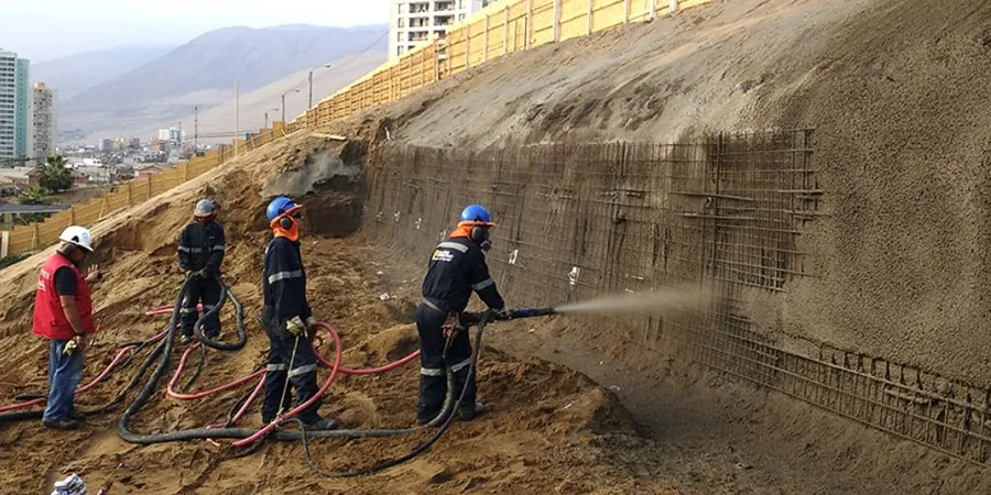
Associated technical services
Laboratory Shear Strength & Index Testing
We run drained direct shear on undisturbed Shelby tube samples, plus Atterberg limits and sieve analysis to classify the Denver Formation clay. Results are delivered as phi-prime, c-prime, and PI values formatted for direct import into Slide, Slope/W, or custom spreadsheets.
Field Investigation & Instrumentation
Test pit logging, bedrock coring, and vibrating-wire piezometer installation across the Denver metro. We map stratigraphy at the slope face and install inclinometer casing for long-term monitoring, capturing the seasonal groundwater response that controls stability in Front Range soils.
Typical parameters
Frequently asked questions
How much does a slope stability analysis cost for a residential lot in Denver?
For a typical single-lot residential slope evaluation in the Denver area—including a site visit, test pit logging, laboratory direct shear and Atterberg limits, and a limit-equilibrium analysis report—the cost ranges from US$1,260 to US$3,960. The final figure depends on slope height, access constraints, number of samples tested, and whether instrumentation like piezometers is required. Steeper sites near the foothills or those with mapped landslide deposits tend toward the upper end.
What slope height triggers a stability analysis requirement in Denver?
Denver's Building Code doesn't specify a single trigger height—it's risk-based. Generally, cuts or fills exceeding 6 vertical feet on expansive clay or weathered bedrock warrant analysis. The IBC and local grading ordinances require a geotechnical report when slopes exceed 3H:1V, or when development is proposed within 50 feet of a slope steeper than 30%. Our team evaluates each site against the adopted code edition.
How do expansive soils affect slope stability in the Front Range?
Expansive clays derived from the Denver and Pierre Shale formations create two problems: seasonal volume change opens tension cracks at the crest, and repeated wetting reduces shear strength toward residual values. A slope that stands safely during a dry August can lose 40% of its peak drained strength after a wet winter. Our analysis always tests for residual friction angle, not just peak, and incorporates tension crack depth into the failure surface geometry.
Do you install inclinometers and piezometers for long-term monitoring in Denver?
Yes. We install inclinometer casing in boreholes and vibrating-wire piezometers to track subsurface displacement and pore pressure seasonally. This is especially valuable on slopes near Cherry Creek, the South Platte corridors, and former landslide deposits in Jefferson County, where groundwater response to snowmelt and spring rain drives the stability timeline. Data is collected quarterly or after major precipitation events.